Interreg

Projekt Polsko- Niemieckie Transgraniczne Centrum Dziedzictwa Naturalnego i Kulturowego Regionu Doliny Środkowej Odry dofinansowany przez Unię Europejską ze środków Europejskiego Funduszu Rozwoju Regionalnego

Wysokie Pola

Nordic walking

Information

  • Distance: 5.0 km
  • Duration: 1 h 15 min
  • Sum of ascentings: 28 m
  • Downhill: 30 m
The route forms a loop, the first part over the River Kosa along a canal causeway. The river flows high, and 1.8 m below the causeway there are wet meadows stretching westwards. On the river side there are alder forests and a black currant shrub forest. After about 1 km, the route moves away from Kosa, with fields opening up to the west and oak trees (Senny Kąt) approaching the road on the east. Finally, you reach a junction of dirt roads, where the route follows an avenue at the foot of Wysokie Pola. After about 500 m, it crosses a small pine forest, and behind it you can see single houses in Hołdownicza Street. Continuing through the uncovered terrain, over 2 km long along Hołdownicza Street, you will reach the end of the trail at Grunwaldzka Street.

Places on the route

Centre for Sports and Recreation
Dębno
The Kosa River
The Kosa River
Dębno
The Chapel of St. Hubertus
Dębno
Wysokie Pola
Wysokie Pola
Dębno
App Dębno naturalnie

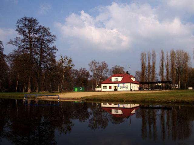
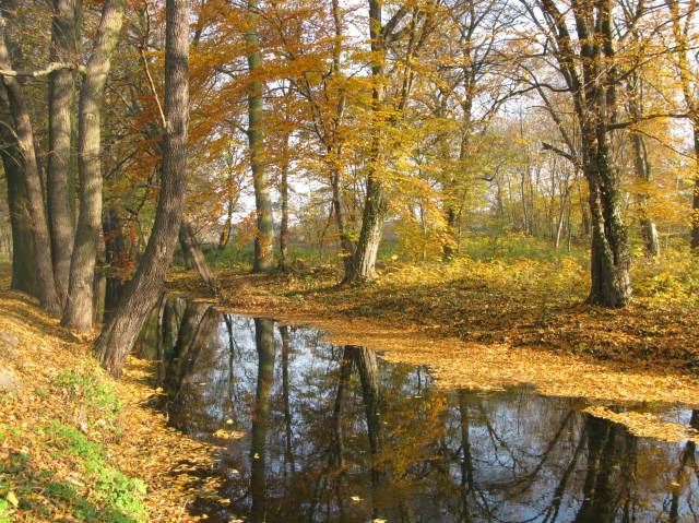
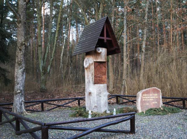
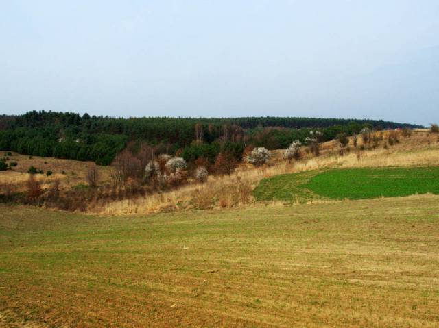
Interesting places, routes, current events. A map with the exact routes of the trips. You won't get lost on the trail with us!

Interreg

Projekt Polsko- Niemieckie Transgraniczne Centrum Dziedzictwa Naturalnego i Kulturowego Regionu Doliny Środkowej Odry dofinansowany przez Unię Europejską ze środków Europejskiego Funduszu Rozwoju Regionalnego